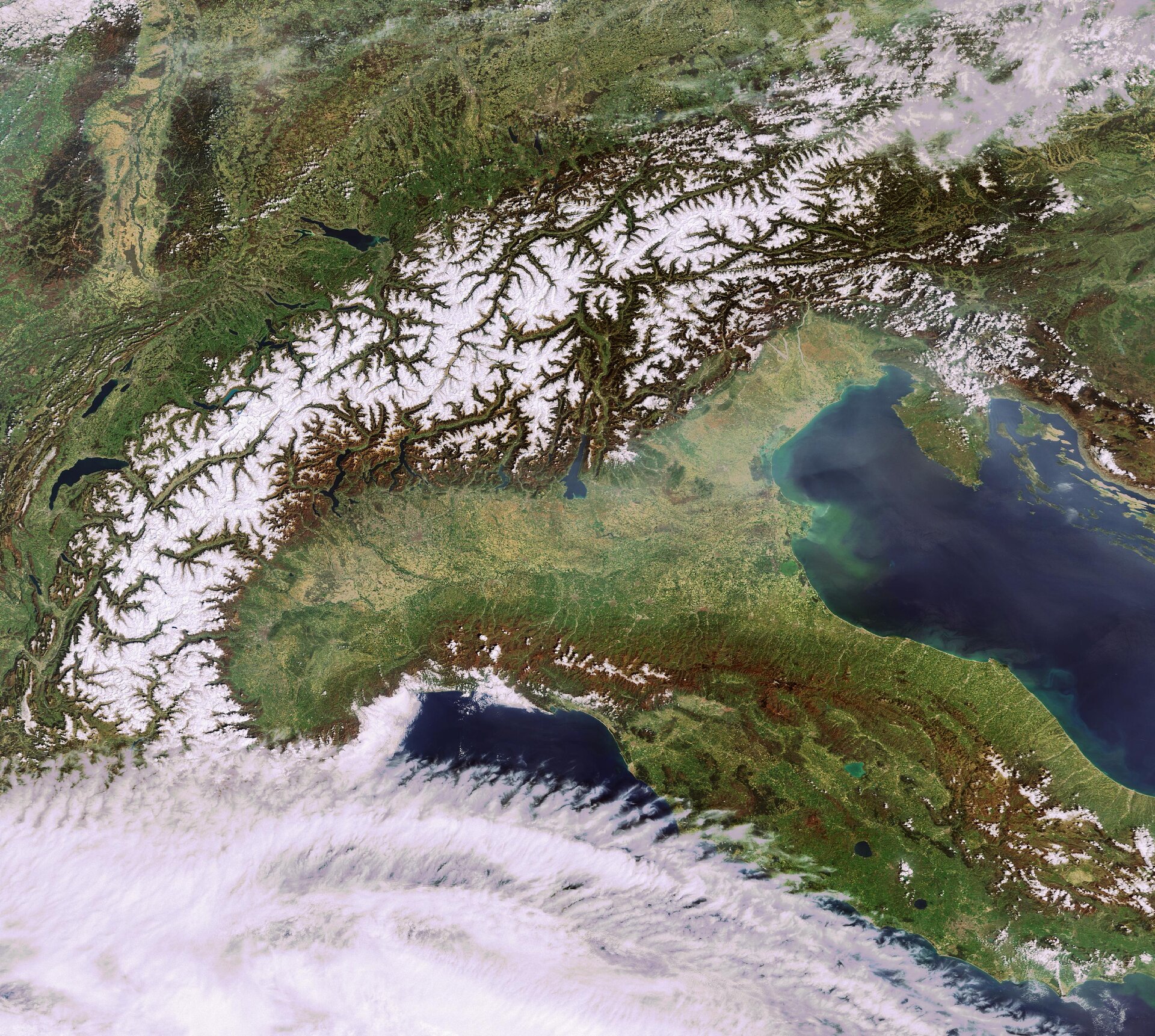
We are a group of students and teachers from information technology department of "ITIS Paleocapa", a high school in Bergamo (Italy). We want to take a series of photographs of earth from International Space Station or from other space probes and to analyse them using neural networks and machine learning. We'd like to get from the pictures what the weather is like on earth. If there are no clouds in the pictures we'll try to recognize some geographic elements from the pictures taken such as continents, sees, lakes or rivers.
Nowadays, the International Space Station and other space probes take many images of the Earth. We would like to make an automatic image analyzer based on AI capable to extrat informations from this great quantity og images.
- what part of the earth is this?
- what the weather is like?
- which mountains, lakes, sees, rivers are shown?
.
.
